The Project
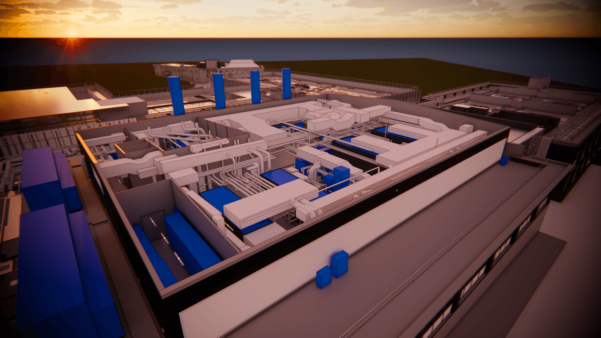
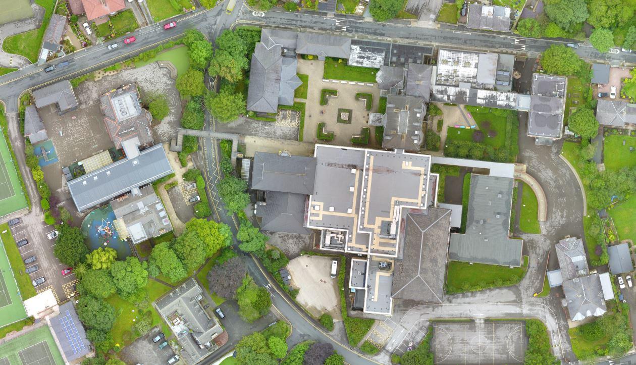
RDS 360 delivered a comprehensive measured survey for a large school in Birkenhead, spanning approximately 200,000 sq ft across six buildings, 450 internal rooms, and 67 external elevations. The project involved full 3D laser scanning of all buildings and elevations, alongside a detailed topographical survey of the external grounds.
All data was meticulously coordinated and processed to produce accurate 2D CAD drawings, capturing structural details, room dimensions, ceiling heights, and the precise size and positioning of every window. In collaboration with third-party specialists, we arranged a drone survey to capture high-resolution imagery and roof condition data across the entire site.
Working alongside a chartered surveyor, we also provided asset information for every internal room. RDS 360 fully managed and coordinated all survey elements on behalf of GDST, ensuring seamless integration across all data streams and a complete, reliable set of deliverables.
Services We Provided
Measured Survey
3D Laser Scanning
Topographical Survey
Drone Survey
Asset Reporting
2D CAD
Point Cloud Processing